Jonathan Preuss
  • Home
  • Bio
  • Summer
  • Winter
  • Blog
  • Education
  • Accomplishments
  • Contact

An Open letter to the Snra

8/25/2022

0 Comments

 
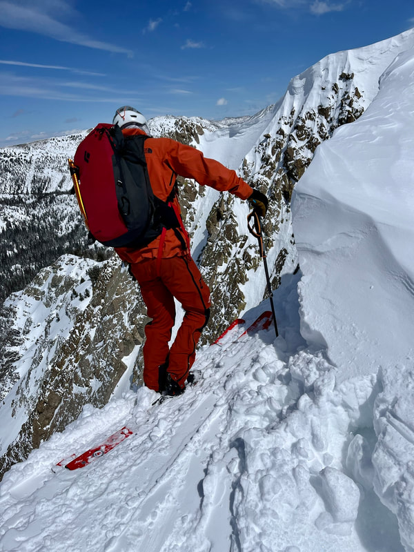
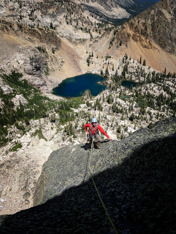
I put together the following information to help the public to understand how the new SNRA Outfitter and Guide Management Plan intends to manage Outfitters (Guide Services) within the Sawtooth National Recreation Area (SNRA). I’ve spent days reading through all of the reports and many more hours trying to figure out how this will affect my livelihood that I have been building for over 10 years, in the area I now call home. There are both positive and negative contributions in this plan. We are just now celebrating the 50 year anniversary of the SNRA. While I want to help preserve the protected characteristics of the SNRA (no subdivisions, commercial development, etc.), I also believe as a guide, we are a valuable resource for the SNRA. We help teach the public good stewardship to keep it preserved for future generations. And thankfully this was never turned into a National Park or it would likely look more like Jackson in the Sawtooth Valley!

The following is what I have determined to have a negative impact on myself and the community who wishes to use outfitters to learn more about the outdoors and/or be guided safely through the mountains. It is my hope that I didn’t misread anything or misunderstand the policy that will soon be put in place. If I have made any mistakes, feel free to contact me. I did my best to summarize the plan below:

Priority Use Pool (new additional service days)
At first glance, this new pot of 22,000 service days seems like the Outfitters should be rolling in it! Outfitters won’t be given these days right away (except for the initial allotment, explained next), but they need to EARN them over 5 year increments. And even within those 5 years, there is ONLY a 15% gain allowed (Outfitters with over 1,000 service days). If you do some quick math, that is a potential increase of 150 days every 5 years (from a 1,000 day holder permit). So when a plan is finally determined, Outfitters won’t be graciously given an additional 22,000 days right away. That is a pot that they can dip into over the course of a decade. On the outside, the Priority Use Pool looks like this huge gift to Outfitters, but it comes with a lot of FINE PRINT attached to it. 

Initial Allotment Increase
The SNRA will give Outfitters an initial boost of days if they have proven they have needed more in the past or have met their historical use. These additional days will be added to their current permit. That might come from the new Priority Use Pool (Proposed Action) or be in addition to it (Alternative B). The Initial Allotment increase is based on numbers pre-pandemic. We all know there have been more users seeking refuge in the SNRA since prior to 2020.

Depending on the Outfitter’s highest recorded usage in between 2016-2020, will determine which plan is better for that Outfitter. Talk with your Outfitter (Guide Service) and ask them which one will benefit them the most!
It seems like the best option to not have additional service days taken from the pot and increase up 50% use of permits from 2016-2020. I recommend the Alternative B alternative to the Initial Allotment Increase.


See document below for my scribbles and notes on this section, as it is a little confusing...
comparison_of_the_alternatives.pdf
File Size: 503 kb
File Type: pdf
Download File


Recreation Report
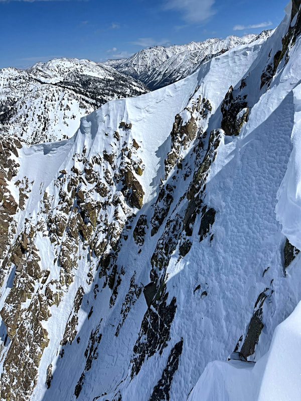
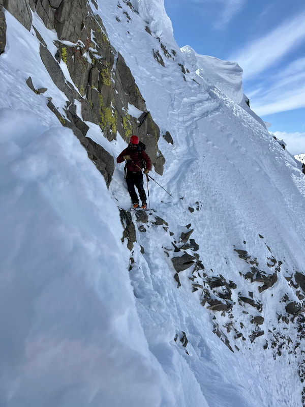
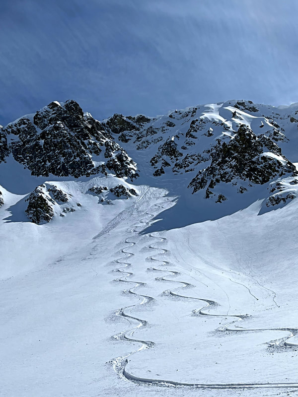
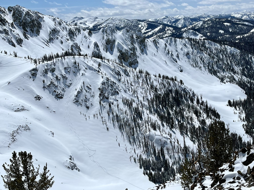
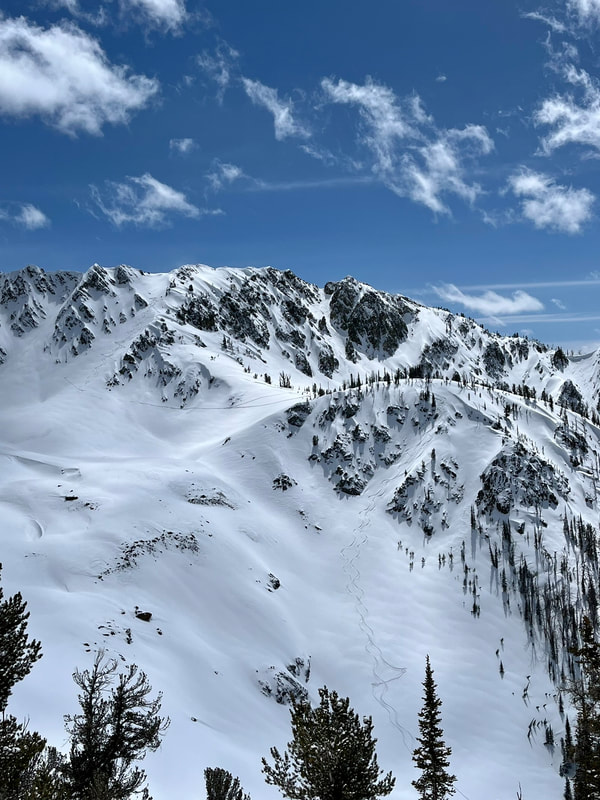
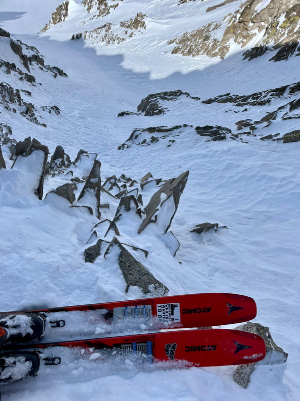
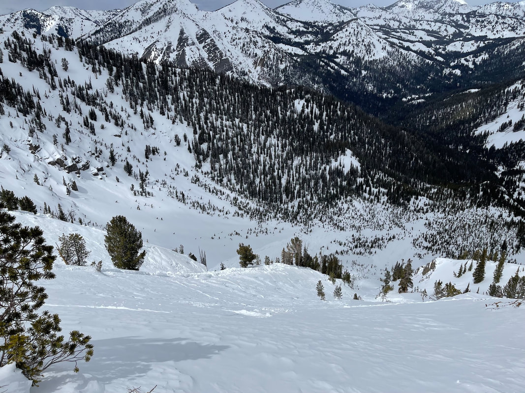
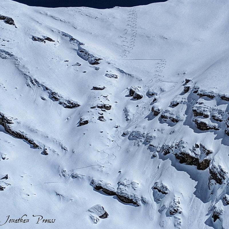
In the Recreation Report, there is no direct evidence or data collected on backcountry skiers or snowboarders who are touring in the Galena Summit area. The SNRA is using public comment and Historical Outfitter days to justify the increased users in the Galena Pass area. They refer to parking being an issue “during and immediately following winter storms, on weekends and during holidays, both the need for plowing and the desire for winter recreation activities is high. This creates challenges and conflicts between user groups as parked vehicles obstruct the ability to plow, limiting parking even further.” I have never personally had an issue with parking up there prior to the pandemic and I visit the pass almost on a daily basis.

All of the numbers documented in the Recreation Report relate to areas the SNRA currently tracks usage. That is the Sawtooth Wilderness (you need to sign a free permit before entering them), select trailheads where it is voluntary to sign in, backcountry huts/yurts, and campgrounds where you have to pay. The Outfitted Public only accounts for 3.5% of the total use according to the figures drawn from the Environmental Assessment.That means there is absolutely no real data collection on anyone who is ski/splitboarding in the SNRA besides the Outfitters who are required to report their usage. 

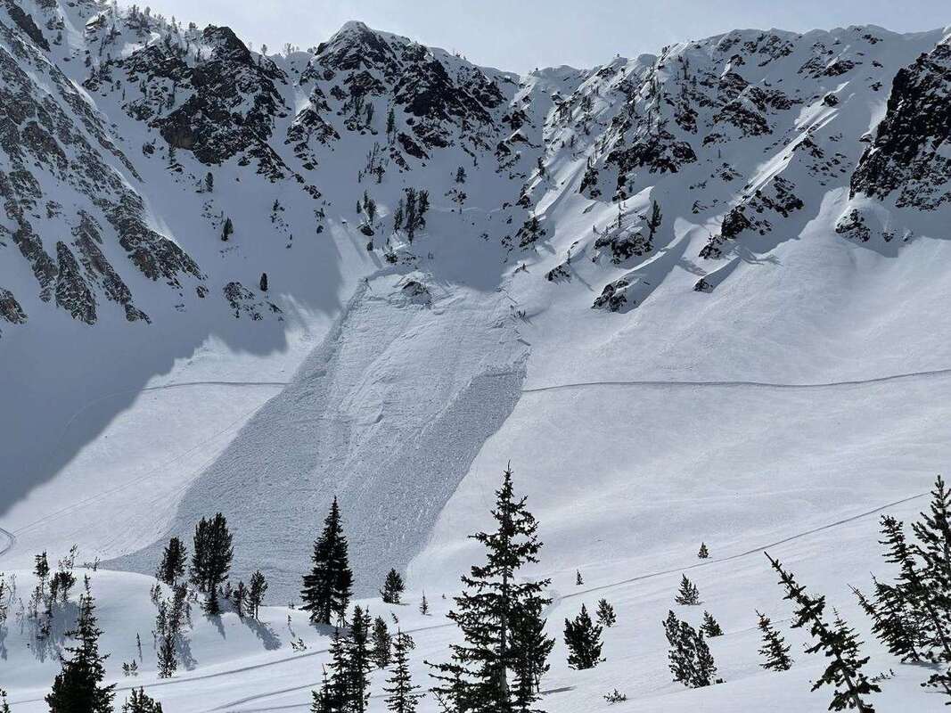
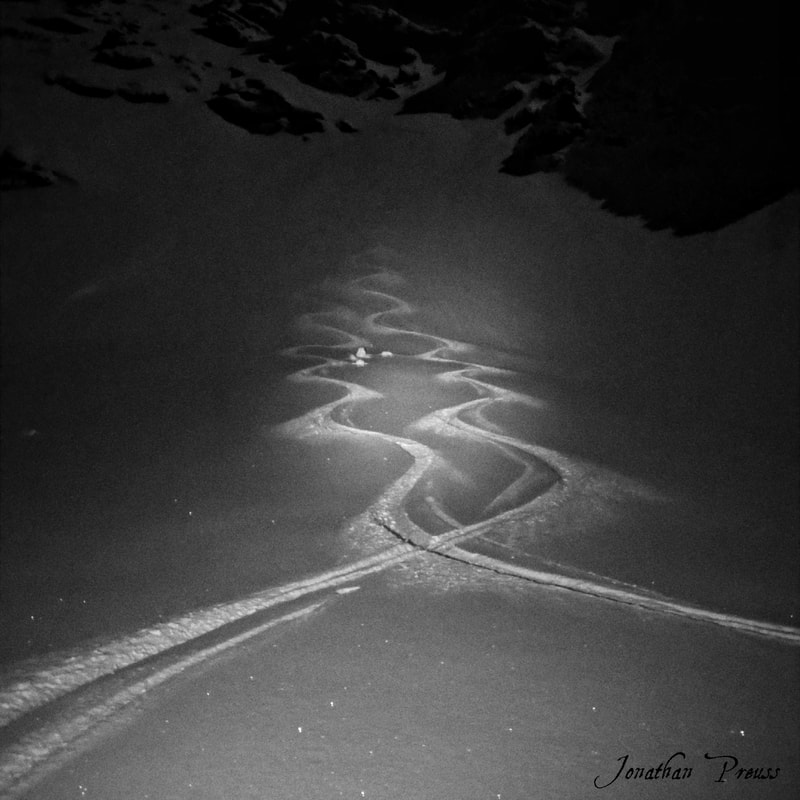
Without the data from the non-guided groups, it is nearly impossible to figure out the carrying capacity (number of people an ecosystem can support without environmental or social degradation) of winter recreation in the SNRA. Winter travel occurs on a renewable surface which is snow. Traveling on snow has no measurable impact on the surfaces below it. The only impacts it has are social (and wildlife) and those are extremely difficult to measure when one isn’t collecting all of the user data out there. It becomes a perceived number based on human memory which often proves to be unreliable.

The Needs Assessment taken during the winter of 2019 revealed that 89% (107 comments) said there was a need for Outfitting and Guide Services on the SNRA. There were 42% (47 comments) that stated they did not think there was excessive use or crowding. There were 75% (82 comments) thought there were places that could support new or additional outfitting and guiding. And lastly, 78% (88 comments) were not concerned  about the amount of guiding in the area. Those numbers speak for themselves. The majority of the public comments have expressed the need for more guiding and they didn’t feel like guiding was taking over their areas within the SNRA. I recommend the “No Action” alternative to A12, A18, A19, A26 and 001 design elements.

Wildlife Report
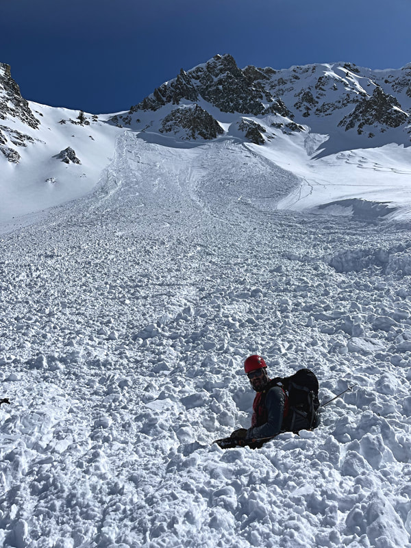
Goats, wolverines, peregrine falcons, Lynx, and others are of concern with increased use. However, outfitters are being cut off areas of concern while the public is able to continue to threaten these areas. This is mainly for over-the-snow vehicles (snowmobiles). I don’t understand how this is acceptable? Whenever I am out guiding a group and realize I am pushing a herd of elk or goats through snow, I change course. I don’t think the public will have the same self enforcement. If there is an area threatened for wildlife, maybe ALL users should be kept out during the breeding season. 

Now some of you will think after reading through this that maybe I don’t care about wildlife. I think the mountain goat is one of the most majestic animals out there, I’m jealous of how fast a wolverine can move through the mountains, and that peregrines are an amazing species for surviving the era of DDT. But I don’t agree with how the language is unclear to perimeters of Peregrine closures and how it's only subjecting Outfitters and Guides to being the influence of lowering the number of the Goat, Wolverine, Peregrine species, and others. I recommend the “No Action” alternative to A07, A10, and A16 design elements.

Our Backcountry Huts!
Bob Jonas, Kirk Bachman, and others helped establish a valuable resource of backcountry huts/yurts in our area. The current plan will reduce historical numbers of occupancy at the huts up to 50% reduction (300 nights)! The Plan is also trying to link huts as “wilderness use,” but by regulation, these huts must be placed OUTSIDE the Wilderness Boundary. Some groups never even travel into the Sawtooth Wilderness area. Most groups spend the initial day and last day of their trip just getting into/from the hut, therefore aren’t even accessing the Wilderness area. I recommend the Alternative B plan with the “No Action” alternative to design elements A12, A18, A26, and 001. 

Joe St. Onge wrote up a detailed description of the current problems of this plan relating to the huts and yurts of the area. Take a read of his thoughts HERE. 

Design Elements
Design Elements are the FINE PRINT that add extra restrictions to the Proposed Action and Alternative B options. I wasn't able to make an image of the  Design Elements to be readable on this blog, so you have to download the PDF below.
Design Elements
File Size: 63 kb
File Type: pdf
Download File

The Rules of Commenting
Upon writing your comments to the SNRA, you are able to pick which of the three options you would like to see in the final management plan. So be specific to which ones you would like to see in there. The options are No Action, Proposed Action, and Alternative B. There are also Design Elements (the fine print!) included in the Environmental Assessment located in Appendix A. The SNRA will be less likely to hear your thoughts if you just COPY/PASTE my information into your letter. So please curate your letter so every vote gets counted!

Comments can be made to comments-intermtn-sawtooth-nra@usda.gov by August 31st.
0 Comments

The second bite stings way more

5/6/2022

3 Comments

 
Picture
A triggered avalanche with two skiers caught and one partial burial. Grand Prize, 9650', NNW, ~35 (start zone), SS-ASu-R2-D2-O, 55cm thick, 290' wide, 460' vertical, 930' length of path.
 It was my third day out in the Mushroom Ridge area. I was feeling confident that I knew what was going on in the snowpack. A couple of waves had brought new snow to the mountains after a three month long dry spell. This time of year people break out their bikes and load up the summer wax on the skis. Meanwhile it was dumping cold snow in the mountains! I love getting out this time of year and skiing steep lines. Although, the new dry snow can change to mash potatoes within minutes, so it's necessary to have a flexible schedule to get the goods.

I put out a desperate message attached with some powder photos from the day before to an Instagram post. “Hit me up if you want to ski tomorrow!” An old friend reached out who I haven’t skied with in a long time. I told him to bring all the sharp things he owned and meet at my place. Lee showed up and I opened my laptop with a proposed ski tour I plotted on CalTopo. One couloir that would give us access to the area referred to as Gnaria and then climb back out, traverse a ridge to a north facing couloir. He looked at me and said, “This is exactly what I wanted to do today.” I pointed out three possible exits (refer to CalTopo map with the “Exit Options” folder) from our last run, which would bring us out of the Grand Prize drainage. 

Side Note: I put together an interactive map to follow along this story and observations. It was built through CalTopo and there are a bunch of different Map Layers you can toggle through to see Slope Shading (avalanche terrain), Satellite (to see the ski runs), and Mapbuilder (topography lines) to see the terrain features, aspects, and elevations. You can use the folders located on the left to turn on/off (click the arrow in the box) tracks, exit options, etc. which will allow you to focus on one part at a time. Sometimes it can be overwhelming to have everything on the map at once, so you can enable what you would like to see on it. It is best to view through a web browser via laptop or desktop platform and not on the app with your smartphone.

Picture
There are no daily avalanche forecasts delivered this time of year, so it becomes even more important to stay on top of the weather and see what is going on in the snowpack. I mentioned to Lee that the best snow right now was on the north faces (as per usual) and the only stability concern I had was Wind Slabs and Dry Loose problems. My thought was to stick to confined terrain features (couloirs), where a precise slope cut could clear away any issues. I wanted to steer clear of big, open faces where it’s harder to safely manage wind slab problems.

At the trailhead we talked about who would carry rescue equipment, first aid kits, bivy tarps and repair kits. Then we separated gear between us to travel light and fast. I mentioned where my inReach device was kept and how to use it. This is something I do with anyone I don’t tour with on a regular basis, especially my guests I’m taking out for the day. We did a transceiver check and marched up the skintrack.

Lee made an observation of the drifting snow once we got higher on the ridge. The winds had basically moved snow from most aspects within the last week, so it was challenging to know exactly where the most recent load was coming from. It was going to require looking at each slope individually to assess where or if it was loaded with any new wind transport. There were no recent slab avalanches observed.

We made it to the top of Mushroom ridge, where we had to do a series of navigating through small bands of rock and snowfields. I poked my pole through the snow to feel if there were any slabs sitting over weak layers. Nothing stood out in my rudimentary stability tests. I elected to downhill skin across the small start zone (~50’ long) to avoid multiple transitions. Looking back on it now, it would have been much safer to stick to the ridge and not add too much time.

We stood at the top of the first run, a 35°+ NNW couloir that had multiple sections to regroup on the way down. I set a slope cut down to a nice moat that was created over the season with the prevailing NW winds. Then continued down fast snow that had pockets of wind-blown pillows to add some softer turns. Nothing moved and I yelled up to Lee to come down to me. He skied down and then continued down the last pitch into the aprons. Just as he started to descend, a local couple were skiing down from the Upper Gnarnia basin. I shouted to him that there was another skier, but he couldn’t hear me. I don’t like dropping in above other parties. It’s bad practice in my mind. If we were to trigger an avalanche, it would be on top of them and possibly add more people buried. Everything was fine and we skinned up to look at our next climb. 
Picture
Lee skiing down the first couloir into the land of Gnarnia.
The upper basin was wind blown off the ridges and looked like terrible boot packing conditions. We decided it would be best to continue down and then wrap around the ridge to gain pt. 10,126’. There was another small couloir feature to connect us downhill. It was a short, north facing feature that I entered with caution. I skied to the rib in the middle and posted up to have “eyes on” Lee as he skied through the whole pitch. When I can’t see the whole descent, I will try to get down to a safe location so I can see the entire line. In the event it slides, you can see the rider and get a last-point-seen location. It was another solid run with even more ski pen (aka deep snow) thus more powder shots!

The next climb was up a steep west face that connected to a ridgeline. We skinned up it and got a view of our previous two runs. Another party of two were skinning out a wide couloir feature back to the Horse Creek exit (refer to “Other Party of 2” GPS track). The slope was 35-45° (based on Slope Shading) and N/NW facing 9200-9500’. I must have subconsciously acknowledged they were moving through steep terrain with no consequences. This undoubtedly created a bias for the day about stability being good. 
​

We finally got up to the last couloir of the day and this is the one I had been drooling over on Google Earth for a week now. I knew it was going to ski great because I skied a similar feature 4 days earlier and there was more snow out there now. But when we got to the ridge to look into the slope, it was riddled with cornices and the entrance looked too rocky to descend from the top. I looked for another way to access the run. I ran up and down to get different views, looking for a weakness in the corniced ridgeline. There was a small entrance that had a little cornice that we could cut loose with a sawing motion using a ski. Then a small, delicate traverse that would require walking over lots of rocks to get the couloir. I proposed the plan to Lee; he was game for it. So we went to work, carefully turning our way into the run and across the face.

Picture
Lee looks up at the corniced ridgeline halting access into our last couloir of the day.
Picture
A low snow year and burly winds leave the entrance to the couloir a rocky mess.
After some debate on whether we were skiing or rock climbing, we were in! We skied it in two pitches, regrouping halfway down. It was all time skiing and we wished it lasted for another 1000’ or even more. At the bottom, we looked back up and talked about the run. We discussed our exit plan out of there where I again brought up all three exit strategies (refer to the “Exit Options” folder) in no particular order. ​
Picture
Lee carefully walking over rocks to get to the line.
Refer to the CalTopo interactive map to fully understand the following options.

Option 1 was to exit through a small, steep section that looked wind loaded and would require gaining the same ridge we had just walked up. That ridge sucked! Lots of booting over loose rock---we quickly said no to that option. 


Option 2 was to gain the saddle next to where we ended the run. It was a small face with a 200’ band of red (35-45° slope shading). This was the fastest way out and that definitely was calling our names. 

Option 3 was to continue down the basin and wrap around through lower angle terrain. It was the longest way back to the Western Home exit, but by far the safest. The steepest section of this route would be on an East aspect, which was less likely to have any avalanche problems on it with recent sun exposure.

We talked over all of the options and our tired bodies kept going back to Option 2. We had a great day and we were now “smelling the barn.” When analyzing skin tracks in avalanche terrain, there are a few points I take into consideration. These are to be taken into account, if there is no other safer option to move through that terrain. In other words, you have to go up through steeper slopes.

  1. Is there a persistent slab problem? If the answer is NO, then proceed with caution. Dig to visually verify and periodically check to confirm throughout the climb out. Other avalanche problems should be considered too.
  2. Stay on the lowest slope angle as possible. Statistically speaking, the closer you get to the magic number of 39°, the more likely the slope is able to trigger an avalanche. If there is a collapse in a layer, it will travel faster and possibly longer in steeper terrain. Thus creating a larger avalanche with more snow to knock you over or get buried deeper.
  3. Stick to the deepest snowpack or no snow at all. I’m sure this point will open up some discussion. Some would argue if you are thinking in this manner, then maybe you shouldn’t be on that slope. Thinner snowpacks are notorious for being trigger points in avalanches. We are traveling and impacting the snow closer to that layer and more likely to initiate the failure. So if you stick to the deeper snowpack, you are less likely to trigger anything sitting below in the snowpack. But if you do trigger an avalanche, it will likely be a hard slab which is more destructive and challenging to get off. It is always safer walking up on rock, where you aren’t connected to the snowpack. But it is slower and less efficient to carry your skis/boards on your back. Keep in mind that traveling over little sections of snow, that are connected to bigger slopes, can be ideal spots to trigger avalanches as well. 
  4. Avoid being over terrain traps (gullies, cliffs, creeks). Make sure it has a clean runout in case it were to avalanche. Slopes that gradually change to lower angle will allow debris to “fan out” and not bury you as deep. Therefore, it increases your chances of staying on top if caught in an avalanche. 
  5. Are there any environmental factors increasing the chances of causing injury? Is the sun influencing slab consolidation or introducing water into the snowpack to cause Wet Loose or Slab avalanches? Is there rock or cornice fall from above and could we be in the line of fire? 

I started to break trail up the exit Option 2 (marked in yellow) towards the saddle that would give us a fast exit back to our vehicle. We were halfway up it and I looked back at Lee and asked if we should ski another run down the skintrack. We agreed it would be great snow, but would make the decision at the top. 
I was about a switchback away from being in the clear and standing at the top, when I saw snow moving all around me. I remember thinking, “Fuck, not again.” I somehow turned myself around and tried to run over (we were in tour mode) towards the flank of the slab. After I fell over on my side, I knew I was in it and reached for the trigger on my avalanche airbag. I could hear it inflate the large red balloon around my back as I tried to push to keep myself on top of the debris. I came to a rest on the bed surface and looked up to see what was above me and see if I could see Lee. Then I looked down to see the slide was continuing down the mountain and I could see Lee on top near the bottom. Everything came to a rest and I shouted down, “Are you alright? Do you need help getting out?” I could see he was on top and only partially buried, so  I ripped off my skins and skied down to him.

​We were in awe of what just happened. I remember being angry that I just got caught in another slide within 3 years almost to the day. I felt “like a boxer that's been knocked down and lost his step” - Senses Fail. How did I let that happen again?! Then I couldn’t understand why I felt so calm. The first slide I was in I thought, "I could die in this right now." But why didn’t I feel the same rush of adrenaline with this one? Was it because I didn’t hear the collapse or that I could feel the floor of the bed surface and knew it wasn’t too deep? I knew the runout was clean and a good place to get caught. It was a strange feeling.


Lee was only buried knee deep and right side up, so he was able to wiggled his way free. We talked about the slide and walked through the chain of events. Lee remembered us both shouting avalanche, when I only remember looking at him right before my trauma response went into fight (beast) mode. He heard the collapse when I didn’t hear anything. I remember getting a bad feeling maybe 30 seconds or so before triggering the avalanche. 

I have thought back on that feeling a lot since that day. What could I have done at that moment? Calmly tell Lee we should carefully transition to downhill-mode as gently as possible? Should we have just pointed it downhill with skins on and hope we don’t wreck from downhill skinning? What if we triggered it on the way down? Then we would have all of that snow moving above us and be more likely to be buried and not have a chance to get off the slab. Unfortunately, I don’t have an answer to this question, but I can’t help but think about intuition and gut feelings. They are something you shouldn’t just push away.

We came up with a new game plan to get out of there. It didn’t look like too much hangfire above the crown and maybe we could boot up through some rocks. If the hangfire were to release, it wouldn’t be that big and we would be able to get off of it easier than what we just experienced. Option 1 looked wind loaded with snow and we would have to repeat the same ridge boot pack which was slow and tiring. A week later, there would be a visible crown near this option. Option 3 still felt long and we just wanted to get the hell out of the mountains. 

So we skinned up the same slope again. Having to climb it again felt like rubbing salt in the wound. I could feel the facets sitting on top of the bed surface which felt like walking over a slick layer of sand. I would occasionally take video (YouTube Playlist of videos) and photos to document what happened. When we got up to the crown, I ran my fingers through the profile. I visually noted the hand hardness of all the layers and where the failure occurred. There was about a 55cm F->4F soft slab sitting over 5cm of faceted snow 1-2mm, which stood on top of a stout Melt/Freeze crust which formed in a week-long heat wave in March. It was an obvious weak layer that I missed. That sucked. I must have skied over this layer on other slopes within the last week. But now with more snow on it, it had consolidated into a cohesive slab.
Picture
The crown of the avalanche painting the picture to what had failed in the snowpack.
After looking at some nearby weather stations, I put together the pieces that I missed by not digging into the new snow. On April 4, there was a small storm that dropped 4-6” (SWE 0.40-86”) followed by two cold nights where it faceted out. On April 10, that layer was buried by numerous days of moderate increments of snowfall (23-29”, SWE 1.10-2.25”) over a seven day period. These are the perfect breeding grounds for introducing a new weak layer in a time when most of us thought we were just skiing powder in a springtime snowpack (melt freeze cycle).
Picture
Snowpack data from the Lower Titus (9156') weather station, which has similar elevation and is the closest location to the avalanche incident.
The snow scientist in me wanted to do some stability tests in a crown profile to see how reactive that layer was and link some corresponding numbers to it. I looked up at what looked like small hangfire from down below and my nerves twitched with the thought of tapping on that slab. We didn’t like our initial plan to boot pack through a small rock couloir, which now looked like 40 feet of tromping over a slab which avalanched less than 30 minutes ago. Lee looked at a rock rib that gave us some more elevation to get closer to the ridge. It would involve skiing 30 feet or so across to another rib of rocks which offered safe passage to the top. 

We executed the plan and made it to the saddle. I’ll save you the details as this is already becoming long! We transitioned to skiing and moved quickly through runouts back to our vehicle. The hot spring snow turned back to solid snow (aka breakable crusts) and made for survival skiing.

​
So what did I learn? If I want to grow old in the mountains, I will need to increase my margins of safety. This would be easy to do by just avoiding avalanche terrain. But I know this is unrealistic because I enjoy steep skiing. Also, as a ski guide, guests are requesting to go into that type of terrain. So it will require some more thought into how I can manage skiing in steep terrain, but not getting caught in another slab avalanche. 

Rules or guidelines work well for me, as I need some hard lines to set in order to actually increase my safety margins. Both times I have now been caught in avalanches when I was skinning. Sometimes there is no other way to get up to the top or through mountains without doing this form of travel. But now I will have to add some more rules to when it’s an acceptable risk to execute in addition to the previously mentioned points. Here are some thoughts I have come up with.

Spacing Out: While skinning up a slope, the team should travel close together and not be lured into “spacing out.” Spacing out is a practice that has never sat well with me, yet I have used it before. It is an idea that dispersing your weight across the snowpack, will lessen the impact on the weak layer. If we are using this method as a safe travel protocol maybe we shouldn’t be traveling on that slope. It is a false sense of security to think you can tip toe over the weak layer in that manner. That is to lower the safety margins to a thin line with disaster.

After being in two avalanches where I was traveling in the uphill mode, it is sinking in that it doesn’t make sense to space out. If we are confident in moving through that terrain, we should be moving together as one unit. Then if something were to go wrong and the slope fails. We would likely be closer to the fracture and have more of a chance to self arrest into the bed surface. There would also be less slab above us and not be buried as deep or carried as far down the path. Now I know that no two avalanche accidents are alike and there might be an instance where it is a hard slab that breaks further above. But I think using this behavior will increase your chances of survival. 

Burnout: It was the end of a long season filled with managing a small company through COVID and a low snow year. Between guests and guides getting sick and figuring out where the good snow was after weeks to months of no snow, I was ready to turn the brain off and just go ski some lines. I wasn’t tracking the weather as closely as I should have and wasn’t taking the time to dig, to see what I was missing out there. Burnout comes most years with seasonal guiding work and will have to be taken into account when skiing in the spring. There is no taking “days off” in the mountains. You have to be fully present and be actively reading the current conditions. The day you let your guard down in high risk areas, could be the day the mountains show you their true power. 
​
Winter Returned: I was skiing around like it was a locked-up spring snowpack capped with new snow. Thinking it was glued to that hard crust from the March heatwave. I wasn’t adjusting my mindset (refer to Atkins paper on Ying, Yang, and You) to the fact that it was snowing large amounts with periods of time for weather to change those layers. We had a winter with months of no major change in the snowpack. The 12/11 layer plagued us during the beginning of winter as it was trending towards a Deep Slab in certain locations, but ended up going dominant. After that, we have months of Open Season with no major changes in the snowpack. But then winter turned back on in April and May, so I should have accounted for that change with an Assessment mindset. Whenever it snows, we should be digging in the snowpack to see the new interactions with old snow.​

​The last point is more of an observation than a lesson. When Lee and I debriefed our incident, he mentioned that he knew he was going to be alright because you had your airbag on. This is a new (to me) concept that I haven't thought about before as a heuristic. Lee was thinking since I had an airbag, I was likely to not get buried and could dig him out. I didn’t ask if he thought this beforehand or if it was only in the moment of sliding down the hill. I can only link this to risk homeostasis, but I don’t think it was a predetermined thought. So I’m not sure if this works in this situation. 

Within the coming weeks, the 4/10 persistent weak layer would catch other backcountry travelers off guard. A group of snowmobilers would remote trigger another large avalanche 6 miles north near Phyllis Lake. There was chatter about another group triggering an unreported avalanche in the Sawtooth range. Then a week after, a guided group triggered Cody's bowl while skiing down. Luckily, the guide was able to ski off the slab and the group was posted up in a safe position on the ridge. The guide trusted their gut instinct which told them to make that last turn right towards lower angle terrain. That gut feeling may have been the key to not getting swept down that path.


Sometimes the mountains feel like a drug that is impossible to give up. They allow us to run away from the problems that we face in our real life. As long as we are getting high in the mountains, those problems don’t exist. But even the safest of drugs have shady aspects that require attention, trepidation, and reverence. We have to pay respect to the mountains and in return they will let us come home at the end of the day.


++++++++++++++++++++++++++++++++++++++++++++++++++++++++++++++++++++++++++++++++++
Special thanks to Dan Schwartz for his editing skills and Lee for helping me share this experience with you all. Feel free to write any comments, thoughts, or questions below.
Picture
Beautiful turns and high energy before tragedy hits us.
3 Comments

a Conceptual model of covid-19

3/29/2020

1 Comment

 
The way of life has changed dramatically over the last couple of weeks. COVID-19 really started to get serious here in Blaine County, Idaho when the Sun Valley Company decided to close the ski area and the schools closed down on March 16th, 2020. The county had one confirmed patient (March 14th) that we knew of, as we didn’t have much testing going on at that point. 

Last week, I went to the grocery store, which became my new everyday hazard. Before that time, my biggest risks were going out to work in avalanche terrain. I joked with my wife that I was forecasting the hazard to be MODERATE with the problem, being COVID-19. My world was being flipped upside down and I needed to make sense of it. So I looked to the only thing that stays consistent in my winter life… going through the process of creating an Operational Hazard and Risk Forecast. At the time, the only thing being talked about was social distancing (keeping 6’ spacing from those who don’t live in the same household). Therefore, it was possible to trigger a slide (contract COVID-19), but unlikely for it to naturally take you out, and the problem could be found in areas of high traffic (heightened awareness on specific terrain features).

Our national avalanche center (Avalanche.org) has been replaced with a daily viewing of the Centers for Disease Control and Prevention (CDC) Coronavirus: COVID-19 page. The local “avalanche” bulletin depends on what state you reside in…  for us here in Idaho, we can navigate to the State of Idaho’s webpage designed to provide information about the novel coronavirus (COVID-19). The “forecasts” aren’t as sexy as the usual avalanche bulletins that we are used to reading each morning. Instead, they consist of daily briefings of new orders that residents need to follow in order to lower the likelihood of spreading the virus across the state.
Picture
Fig. 1 The “new” national avalanche forecast map.
On March 20th, Blaine County was issued our first “avalanche warning,” which was an ORDER TO SELF-ISOLATE. The storm was beginning to build in intensity, there were growing accounts of human triggering in the county and natural activity would most likely be occurring out there, without us even taking notice. Throwing hand charges was the initial way to manage the problem, but without abundant testing, there were limited to no results. We were ordered to stay in our homes and only leave for Essential Services/Activities. We had to learn what things were Essential to our daily lives. 

Are we in a Deep Slab instability right now, low likelihood of trigger, but large consequence if you find that sweet spot. It’s a little hard to compare the release of an avalanche to the spread of a virus. In the scale of time, a virus moves more like the creep in the snowpack than the collapse and release of a weak layer. When this problem is approached with the Strategic Mindset, we are all Stepping Back as more and more evidence is showing community spread. Unessential businesses are closing their doors and we’re closing off terrain where our margins of safety are unnecessarily being compromised. It is fearful that one day it will come to being Entrenched in a well established problem that requires even stricter management practices of a full lockdown scenario.

So how do we gauge the trend and severity that we are currently faced? As I was compiling this information, I came across the CDC Pandemic Severity Assessment Framework (PSAF). That’s right, there is already a way to assess this hazard. But I thought it would bring some excitement to my everyday life of isolation to relate this whole pandemic to the avalanche world. I attempted to create some new language on how to analyze this problem with the help of the Conceptual Model of Avalanche Hazard. 

Redesigning the Sensitivity to Trigger table presented the most challenges. I couldn’t come up with a comparison to “natural releases or cornice triggers.” Being that the COVID-19 virus is transferred via humans, it seems unlikely for there to be a natural trigger, besides the initial transmission by a bat? Human triggers seemed to be the most likely way of transfering the virus. I replaced the “Explosive Triggers” with Isolation Orders. Previously this field started out with the largest explosives used to attempt to trigger avalanches that were more stubborn, but in this situation it seems necessary to reverse that process. Instead, I changed the field to act as the amount of restrictions needed to combat the spread of the virus. I brought back the Very Touchy sensitivity, but used it as an additional level of severity (ballsy… I know…). 
Picture
Table 1 Sensitivity to Trigger
I choose to scrap much of the descriptors of the Destructive Forces as they related to structural damages and didn’t correlate well to the loss of human life. It was difficult to come up with parameters from level to level, but this was the initial attempt. I look forward to constructive criticism.
Picture
Table 2 Destructive Force of Virus
Much of the Spatial Distribution correlates to how much testing is available out there. It was quickly realized that the virus was/is probably present in more areas then we know of, but without sufficient testing, the results are widely unknown. Therefore it only appears to not be present in some communities, even though it probably is occurring there. There just aren’t tests available in those areas yet to prove there are positive cases present.
Picture
Table 3 Spatial Distribution
Picture
Fig. 2 Structure of an Avalanche Problem from the Conceptual Model of Avalanche Hazard.
Based on the parameters listed above, let’s create a forecast for today’s advisory in Blaine County. Our avalanche problem is COVID-19 for in Blaine County, Idaho. The county has 114 confirmed cases (as of March 28th) and is in Extended Restrictions ordered by Governor Brad Little, making the sensitivity at Touchy. St. Lukes has a drive-thru testing site and is performing tests on a daily basis. At this point, Blaine County is known to be at community spread, therefore Widespread spatial distribution. It is Almost Certain to contract the COVID-19 by leaving your house and going to high use areas (avalanche terrain) and not practicing safe travel protocols such as wearing a N95 mask, wearing gloves (and knowing how to not cross contaminate them), keeping a distance of 6’ from others, and of course, washing your hands with soap for at least 20 seconds. 
Picture
Fig.3 Likelihood of COVID-19 results is combined with the spatial distribution and sensitivity to triggers.
An avalanche center might deem it CONSIDERABLE for those traveling in the forecast area (Blaine County). You might be thinking, “but why isn’t it HIGH today?! It’s scary out there!” Based on the reaction of our government, we’re not in a complete Lock down situation that would require us to avoid all infected areas, such as grocery stores, airports, gas stations, etc. (avalanche terrain). I would argue that conditions as of now, require careful evaluation, cautious route finding, conservative decision making. If you need to leave your house, take precautions to lower your likelihood of acquiring COVID-19. Use cautious route finding at the grocery store, avoid crowded aisles where you can’t adhere to the 6’ spacing of social distancing. When you encounter another individual, space out to limit your chances of “triggering” the virus. With the health system in our community being stressed, now is the time to make more conservative decisions in the backcountry. ​
Picture
Fig. 4 North American Avalanche Danger scale.

I would like to open up this discussion with fellow colleagues. This is a working document and look forward to adding adjustments to the terminology and language of how to manage this new hazard in the unforeseen future. 

​References:

Statham, Grant, et al. “A Conceptual Model of Avalanche Hazard.” Natural Hazards, vol. 90, no. 2, Feb. 2017, pp. 663–691., doi:10.1007/s11069-017-3070-5.

Atkins, Roger. "Ying, Yang, and You." International Snow Science Workshop, Banff, 2014, https://arc.lib.montana.edu/snow-science/objects/ISSW14_paper_O9.02.pdf.

IdahoCOVID19. “Welcome.” 
Novel Coronavirus (COVID-19), State of Idaho, 28 Mar. 2020, coronavirus.idaho.gov/.
​
1 Comment

An Open Book to the Sawtooths

8/8/2019

1 Comment

 
Picture
The Finger of Fate above an unnamed lake.
When you drive over Galena Pass and enter the Sawtooth Valley, it is hard to miss the uniquely shaped Finger of Fate as it juts out from the landscape. The shape of “the finger” formed from thousands of years of glacial erosion, leaving behind a beautiful pinnacle of Sawtooth granite! The climbing history of the Sawtooths is pretty secretive, but the Finger of Fate was first climbed in 1958 by Louis Stur and Jerry Fuller. Since then, many have adventured out there to test their skills on this iconic mountain. There are at least six routes found on the finger, ranging from 5.6-5.11. The most popular route is the Open Book (III 5.8), which is the obvious dihedral that is on the north face.

​
PictureOpen Book III 5.8
A couple of weeks ago I got a text from my friend Shawn, who is a part-time SMG guide and author of Geology Underfoot of Southern Idaho (shameless plug - go pick up a copy!). He was wondering if I was interested in going up the Finger of Fate. As I read it on my phone, my memory flashed back to struggling up the off-width cracks found in the first couple of pitches of the Open Book. It didn’t take long for me to quickly pull up my calendar and lock down a date. Ever since I last rapped off the summit block, I couldn’t wait to get back there and have a cleaner send.

PictureShawn leading up Pitch 1.
Shawn and I separated our gear between the two of us, trying to make our packs as light as possible. The Hell Roaring trail is a mellow walk for the first 3 miles. Then, it ramps up in the last 2 miles with about 1700’ of “off trail” hiking along beautiful kettle ponds filled with clear, turquoise water. Once we reached the base of the climb, we hung our packs on an old White Bark Pine, and racked up. Shawn started off with the first pitch. WARNING BETA SPRAY DOWN: It consists of nice 5.7 finger to hand sized cracks and finishes with about 15’ of insecure off-width crack (5.8) climbing. As you move through that section, there is a nice diagonal ledge on climber’s left where you can slowly walk your feet up. It provides easy stemming until, ultimately, you must fully commit to jamming your body into the crack until something holds! ​

PictureShawn following up Pitch 2.
I led the next pitch which begins with more off-width (5.8) for another 20’. This is where I struggled the first time on this route, so I was waiting for the climb to get awkward and difficult. Luckily, that never happened, which means that my climbing must have improved from those early days of suffering through crack climbing. I first learned to climb in the Northeast on the wet metamorphic schist of Vermont, where there are less cracks and more face holds to crimp your way up. I felt great moving through the rest of the pitch, which turns into large blocks stacked on top of each other, until I was just about to run out of rope. The third and fourth pitches (depending on how you define pitches) provide easy climbing through a cool tunnel and then spits you out onto 4th class terrain below the summit. 

​

PictureShawn giving me a belay on the "airy" 5.7 hand crack.
The last two pitches are just as good as the beginning of the climb. They yield perfect twin hand cracks with good jams or laybacks, depending on which style you prefer. Then, after a 25’ foot section of slab climbing, most continue to tunnel their way under the summit block and around the corner. This can be done with some creative gear placements to avoid your rope getting snagged and pulling you off the mountain. Lastly, is perhaps the most terrifying move of the whole climb. It is the infamous mantle onto the summit block with only an old pin to prevent you from swinging off into space. In fact, there is a lot of evidence of people rapping off before attempting this last move. After summiting, you’ll notice that the summit block is maybe 15’ wide and has a metal can bolted to the rock with a summit registry inside. Finally, after taking in the summit views, a few careful rappels will get you back down to the ground for the long descent out of the mystic world called the Sawtooths. 

​

In my opinion, what makes the Open Book such a great climb is the wide spectrum of climbing styles it demands. It has it all... off-width cracks, stemming chimney moves, airy finger/fist cracks, mantles to make you thankful to be alive, run out slab, and belly crawling under a huge detached block. It definitely keeps a climber thinking and using their skills. I can appreciate this climb even more now after having struggled on it a few years back before my crack climbing skills were polished. Not only is this climb fun and dynamic for climbers, but it provides the breath-taking views and peaceful natural backdrop that the Sawtooths are known for. ​
Picture
Shawn topping out of the 5.7 hand crack and moving up the slab section.
Picture
The summit block.
Picture
Me about to tunnel under the summit block.
Picture
Doesn't count without a summit selfie...
1 Comment

Standhope ultra challenge 2019: Lessons learned

7/28/2019

2 Comments

 
Picture
Picture
I woke up this morning, barely able to stand, let alone walk over to the coffee maker. The morning ritual seems almost automatic on most mornings, but this one was a struggle. Yesterday I ran in the Standhope Ultra Challenge 60k... I had run it once before about three years ago. The pain seemed all too familiar. 

It was 5am, Sam and I were driving up trail creek. The early morning and drive was nothing new to me. I have been guiding on Borah and up in the Sawtooths most of the summer, so I have became accustomed to early mornings and long drives. The race began with Ben Blessing playing the national anthem on his trombone. I was wondering if there was anyone in the campground confused by the strange noises in the middle of nowhere. We all took off and I mean TOOK OFF. There was a large crew moving quickly up towards summit creek. I looked down at my watch to see what my heart rate was... 167 bpm. What the fuck!? Is this thing even working right now, it didn't feel like I was pushing it that hard. Over the last year, I became obsessed with watching my heart rate and would never go above 143. But this was race day, I didn't research where I should be... oh well I don't want to fall too far behind.

I settled in with a small pack, as we all began to naturally segregate away from the others. As we crawled our way up Summit Creek, I could feel the person behind me leaching on and my energy being sucked away to them. Its funny the thoughts that go through your head when you are pushing yourself for 9 hours straight. I didn't like the feeling and became angry for no good reason. As we descended down the hill, we all started to talk, and I realized that he was pretty chill. I hated myself for feeling those previous thoughts... we are all out here to test ourselves and have a good time. I've come to realize that people who run these "ultras" are interesting people. We are all corky and a little crazy inside. You have to be to put your body through so much pain.

My goals for this race were to break 9 hours (my previous time was 9:35:26) and be top 10 overall. I need to have goals to keep myself motivated to crush it or I'll just give in. The last time I ran the 60k was in 2016, I had a big training season with lots of runs. It was followed by a large taper, due to a busy guiding season. It is a huge challenge to fit long workout runs into an already physically demanding profession. During the race I went out too hard and crumbled on the next two big climbs. So this race I took it down a notch and was able to hang on through those hard climbs.

Overall I was really satisfied how things went this year and plan to change the training plan next time to maybe even (dare I say it) break 8 hrs?!

I've come to realize with these huge missions in the mountains, it is important to have guidelines for success. Here are some thoughts:
  • Pre-Race Visualization - I analyze the course map, then look over the topographic and satellite overlays. This is where Gaia GPS (shout out) comes in really handy. Figure out what the terrain will look like and picture yourself running through it. Then it won't be as much of a shocker when you come to it for real. There shouldn't be any real surprises out there. And you can have a mental map as you run the course, to know where to coast or attack.
  • Break it down - for me that comes down to all the climbs. Which hills will be the real challenge? Once you get over the hurdle, you can feel a huge relief. That will help keep you going and hopefully, provide some motivation to continue.
  • Pack running - I used to never like running in packs while competing in high school and college. I'm beginning to understand the benefits and be more accepting to the pros of it. Ultras are fucking long! It is nice to create friends out there and conversation to help pass the time. Packs can also help keep you moving and pull you along (leaching mentioned earlier...), keeping you in the game of forward progression. Packs can also have a negative effect of making you go faster than your pace should be, so find the right group for you!
  • Sweat is Death - I used salt tablets for the first time this race and holly shit, did it make a difference! Far less cramping meant I could focus on moving faster and not be consumed with how much my body was hurting. I was taking two capsules (2000mg) every hour, but my buddy Sam had to throw down three or more at some points. SO it might depend on pre-race conditioning. 
  • ​Poles? - some claim that the weight and nuisance outweighs the benefit. I guide with them on a regular basis for carrying large packs in uneven terrain and up/down steep hikes. This was my first time using them and I wouldn't have finished as well as I did without them! They engage your upper body for hill climbs, so your legs aren't doing all the work. Poles allow some relief on your knees for steep descents. Both were crucial for my success. Buy some that fold up in three parts. I'm a fan of Black Diamond's Distance Carbon Z.
  • Hill Workouts - a big lesson learned after this last ultra was I lack the ability to move up hill fast... I felt it hard on my quads, which leads me to believe that I should be adding squats and hill repeats to my workouts to strengthen those legs.
  • Energy - keep putting fuel on the fire so you don't burn out. Whether this is sucking down your favorite energy gel, shot bloks or simply finding anything your body will take down without fighting back. I've been raging the Keto diet for the last year and a half, so I didn't know how this was going to go for me. I tried taking Nuun Active in my drinks until I realized it was making my stomach sick. I realized my body wasn't hungry which made me nervous that I thought I was going to burn out, so I tried to eat some Quest bars but realized they wouldn't go down easy. Luckily, some of the aid stations had broth and bacon! All in all, I finished the race with 2 Dixie cups of broth, a handful of bacon, 1 Quest bar, and a SHIT load of salt tablets. Maybe this Keto thing really works?

When it comes down to it, you must have the will to suffer and live on. If you possess that, anything can be overcome!


2 Comments

The mountains gave us a hall pass

4/16/2019

9 Comments

 
Picture
The backpack (upper object) is where the avalanche carried me to.
The Story:

Sam and I were on our second day of five day long traverse across all of the nine 12,000’ peaks of Idaho. They fall within three different mountain ranges and involve car shuttles and long drives to connect them this time of year. The previous day we were able to summit Diamond Peak (12,202’) in the Lemhi range and Lost River Peak (12,078’) in the Lost River range. We didn’t get into camp until around 10pm and get to sleep until 11pm. We decided to sleep in until 6am, so we would have more energy for the next day which included tagging Mount Breitenbach, Donaldson, and Church. We acknowledged that by leaving later in the morning (instead of waking up at 4am), we would be more exposed to the solar input of the snowpack during the middle of the day while skinning up southerly aspects.

As we moved through the day, our bodies were feeling decent, but I mentally felt exhausted. This was the result of stormy conditions and challenging decision making from the previous day. We skied off Lost River Peak in the dark with headlamps and found our previous ski line (Squiggly Wiggly) was guarded by a massive cornice. Although the chance of this releasing at that moment was highly unlikely, I wasn’t ready to accept that risk of being in a tight couloir and directly in the line of fire. So we decided to put skins on and climb higher on the ridge to where we remembered some couloirs that went free without cliffs in them. I felt like we were Mary and Joseph (prepare for weird reference) being denied an inn to stay in for the night, as we moved from couloir to couloir until we finally found that barn to lay our heads down… anyways it was a long day.
Picture
Sam squeezing through the choke in the Vacancy Couloir.
Picture
The apron of the Vacancy Couloir.
Back to the second day… we moved up through Dry Creek and noticed the winds were sending lots of spindrift over the walls of the rock faces around us. We talked about how wind slabs would be a concern as we moved up into higher terrain and that the blue skies would eventually trigger some loose wet avalanches. As we approached our first climb to Mount Breitenbach, we could see the face was looking more barren than last year. It was because it had ripped out in the late February cycle, probably as a D3 deep persistent slab. This was evident with the large debris piles at the base with a month’s snow sitting on top of them. 

We were able to skin the whole way up the face. We triggered a few small wind slabs that were mid slope and failed 3-5” down x 10’ wide. The hard part about traversing through the Lost River range is that it’s nearly impossible to stay out of avalanche terrain, unless you stick only to ridgelines, which then makes no sense to be carrying skis. We were able to make it to the summit of Breitenbach (12,140’) without significant problems. I looked around for signs of recent avalanches, thinking there must be something out there with the 4-8” of light density snow and moderate to strong NW winds. I saw nothing. After digging out the summit registry, we descended the west face of Breitenbach in epic powder conditions.
Picture
Our descent off Breitenbach via West Face.
PictureSam approaching the ridge line, right before we triggered the avalanche. Donaldson Peak is in the background.
When we got to the bottom, we transitioned to go up our normal ascent path of Mount Donaldson via the Southeast bowl to the Northeast ridge. We noted how we felt like we were traveling across the Sahara desert. The winds calmed down in that basin and it was accelerating the solar input on those bowls. There were loose wet slides coming down the Fishbone couloirs off Donaldson, so it seemed to make sense to stay away from that hazard. It also allowed us to avoid the slopes that were starting to take solar gain from the sun in the SW part of the sky. We saw a recent D1 pocket rip out from behind a rib, mid way up the skinner’s left. It looked like a cross loaded feature and verified our thoughts on the possibility of wind slabs. We discussed our plan for attack was to avoid getting close to the ribs (to avoid cross loaded wind slabs) and stay on the planar and fattest part of the slope. It also was the lowest angle approach to the ridge, varying from 30-40°, the steepest part was the last 200’ vertical.

When I’m out on these personal trips, I’m willing to take on more risk. That risk includes skiing steeper and more consequential terrain (such as skiing above cliffs, steep couloirs, and traveling in big basins). That’s not to say I’m ready to die in the mountains, I’m just accepting that it is a dangerous place and things can happen out there. I’m willing to put myself in it for the personal growth that comes from completing endeavors that seem nearly impossible on the drawing board. Whereas when I’m working as a mountain guide, I’m not willing to put my guests into that type of terrain without having very good stability in the snowpack and using the application of ropes to lower exposure over complex terrain.

PictureGaia GPS track of our route towards Donaldson Peak, involving the avalanche.
Sam started up the SE bowl, setting a beautiful skintrack with gradual switch backs, avoiding the ribs to each side of us. We were feeling hot and tired, the previous day was starting to present itself in the form of fatigue. I did a couple of pole pokes and felt various layers in the upper pack with basal facets or depth hoar at the bottom. The snowpack seemed typical for the Lost Rivers, which is notorious for shallow snow and depth hoar. Height of snow was 100-120cm (anyone notice where this is going?). As we approached the ridgeline, I gave Sam even more space between us. The snow didn’t feel like it was wind loaded, it was moist (2-3”) and was sitting on top of some sort of melt/freeze crust. 

Sam was about 20’ below the ridge, when I heard it… the familiar sound that makes the hair stand up on your back. WHUMPF. It sounded like two collapses, one sounded like a deep rumbling, while the other was lighter and more shallow. I instantly dropped to my knees to punch the toe pieces out of being locked. I managed to get my right ski off. Remember we were ascending, this is the worse situation to be in when caught in an avalanche, because you are the most vulnerable when going up. I teach in my avalanche courses to minimize exposure on the uphill where we spend most of our time ski touring. This lowers the chance of being caught in an avalanche - but we didn’t have those safer options.

I saw the slope fracture and shatter like a pane of glass all around me. I remember saying to myself, this is it, this thing is breaking to the ground. If you want to live, you have to do everything you can to fight to stay on top. You're not going out like this. Adrenaline filled my body as I started to pick up speed and accelerated down the slope. I was lying face down with my left ski still attached and trying to drag me down, deeper into the debris. I started doing push ups off the blocks of snow to try and stay as close as I could to the top of the debris. It felt like being on a water slide, I could feel all the undulations of the mountain as I was carried over them. With the debris being as hard as it was, I didn’t experience any choking from snow getting pushed down my throat. As I felt the debris start to slow down, I forced myself to work harder in order to increase my chances of coming out on top. It worked. As I tried to pull myself out of the snow, my right arm was stuck. I jerked it until it became free, leaving my glove stuck in the snow. I still had my left ski attached to me and had to unbuckle my pack to get turned over. My initial thoughts were, what if that sympathetically released the Fishbone Couloirs and I was right in their path. I looked around, all was still. My next thought was, is Sam ok? I quickly looked upslope and saw he was able to self arrest and stay on top of the upper bed surface. He was glissading down to his skis and I signaled up that I was ok. I double checked myself to confirm that I wasn’t injured by feeling my arms and legs for bumps, knowing that I was still filled with adrenaline and that sometimes injuries go unnoticed.

Picture
Donaldson Peak SE Bowl, 11,550’, ESE, 35-40° (start zone). HS-ASu-R3-D2.5-O/G. ~18-25cm deep (Ground (~120cm) for persistent slab), 1400’ wide, 2700’ linear, 1300’ vertical to toe of slide. I slid 787’ vertical, 1350’ linear.
We then compiled a plan for getting out of there. Jones Creek was the most obvious escape route. It is known for a heinous exit, lots of bushwhacking and would put us away from our car. Luckily we had a team tracking our every move. Sam became a member of the Gauge 20 Running team, who helped him train for this project. Paul Lind, the lead coach of Gauge 20, lives in Challis and was messaged via inReach that we would need an extraction. Then we skied down looking for my other ski which was near the surface of the snow, 30’ below where I came to rest. Having the second ski would make the exit out Jones a lot easier, compared to the alternative which would require me to switch the one ski between each leg.

​As we got down lower, we were able to get cell service and call our wives (Michele and Molli) to tell them what happened and that we were both ok. Jones Creek is a total V trap, and I had concerns of traveling under the west slopes that were just starting to take heat from the sun. But it was our only good option, when compared to spending the night and waiting until the snowpack locked up again. We traveled quickly through old avalanche debris and watched as roller balls were starting to make their way down the slopes. After we made it through the overhead hazards, we just had to link snow fields through a narrow drainage and eventually switched to walking. Our ride was still a couple of hours out, so we made a campfire down in the foothills and brewed up some coffee. We sat around the fire, discussing all the possible errors we made while it was still fresh in our heads. 


I wanted to be transparent about the mistakes that we made and hopefully it can aid others to not fall into the same traps. Often when people get caught in avalanches, they are ashamed for the mistakes that they made, and therefore they choose to not report them. We should take ownership and share these stories, so they became lessons in a place [mountains] that is so dynamic and ever-changing in a minutes notice. Sometimes the mountains don’t always give us the feedback we crave.

Thank you to everyone who reached out to me to talk about it and the friends that were happy to hear we weren’t hurt or injured. I’m grateful to live in a community that cares about my well-being. I gained a lot of valuable lessons from this close call and now the signs that I missed are clear. Most were part of the human factor, but others were present in the snowpack.

Reflection:

Our thoughts are that Sam initiated the upper persistent slab (resembling a storm slab) when he was approaching the ridgeline where the slab was thinner. It propagated nearly 1400’ across the slope and stepped down into the basal facets/depth hoar and released a deep persistent slab. The upper crown had a uniform depth and was razor sharp across the slope. Therefore did not present as a typical wind slab. It appeared more like a persistent slab that might have failed on a near surface facet/crust combo. The recent NW wind loading, 0.5” SWE, and/or solar input was enough to make the slab reactive.

We are both incredibly grateful to be alive and uninjured. We put ourselves in a dangerous situation by failing to properly investigate the snowpack in a remote area. The initial avalanche was likely some kind of shallow persistent slab that we were unaware of and had enough force to trigger the deeper persistent slab. We probed and felt the persistent slab, but didn’t test its energy. Had we dug an actual snow pit on this aspect, the likelihood of triggering a persistent slab avalanche would have been very evident. Doing this was even more important since we were in an area with an unknown snowpack. We would like to think that we would have chosen to abandon our objective for that day if we had realized and acknowledged that a persistent avalanche problem existed. 

Lessons Learned:
  • There are widespread persistent slabs present on multiple aspects and various depths in the Lost River Range. Most need a medium sized loading event or need to be sympathetically released to step down into deeper persistent slabs.
  • When going into a remote range, we should have dug and assessed stability more frequently in the field. Hand pits could have shown the persistent weak layer in the upper snowpack and could have assessed the shear strength. Measuring the potential for propagation could have told us whether to call off our trip.
  • It pays to know how to self-rescue yourself in an avalanche. By being quick to kick and pop off our skis, we weren’t buried as deep as we could have been. When lying face down on the slab (and can’t flip over on your back), push off hard debris to help stay on top.
  • We should have treated this snowpack with an assessment mindset instead of assuming we were skiing a spring diurnal snowpack based on the time of year.
  • Recent avalanches weren’t helpful in evaluating avalanche hazard in our case. When we got to the top of Breitenbach, we could see a lot of terrain on aspects similar to where we triggered the slide, but there was no natural activity. We found out later there were other natural slides near Borah that were similar to the one we triggered, but on a NE aspect which shows it wasn't isolated to only southerly slopes.
  • Being alert to only two avalanche problems that day blinded us from being alert to other potential problems (such as persistent slabs). We had discussed and believed the primary avalanche problems that day were wind slabs and loose avalanches. This was due to observing them in the field and seeing a lot of wind transport. Therefore, knowing we were not traveling on a wind slab gave us a false sense of security.
  • Having GPS tracking devices on all traveling people in the group is vital. Sam had an InReach and JP had a SPOT. These devices allowed us to communicate with an outsider to come pick us up, and to notify loved ones that we were safe.
  • We had decision fatigue, from our previous long day and were not adding up all the subtleties.  

Questions:
  • Did we remote trigger the deep persistent slab which pulled into the upper slab? This is based on the deep, rumbling collapse I heard at the top of the slope. It seems unlikely that was the case, because why didn’t that deep layer fail all the way up to our location after triggering the collapse?
  • Had the deep persistent slab ripped all the way to the ridge, would I have had the same success of staying on top and not get buried?
  • Did the influence of the sun have an effect on changing the slab properties and cause that upper slab to fail and propagate?
  • Should we have traveled up the steep slopes of the Fishbone Couloirs where loose wet slides didn’t step down into anything? But then we would still have to cross more SE bowls in the days to follow.

If you were able to read all the way to here, thank you for taking the time to look into this close call!
9 Comments

    Author

    JP is a AMGA certified Ski, Apprentice Rock and Alpine  Guide who works in the area of in the Sawtooth National Forest of Idaho. 

    Archives

    August 2022
    May 2022
    March 2020
    August 2019
    July 2019
    April 2019

    Categories

    All

    RSS Feed

Powered by Create your own unique website with customizable templates.